
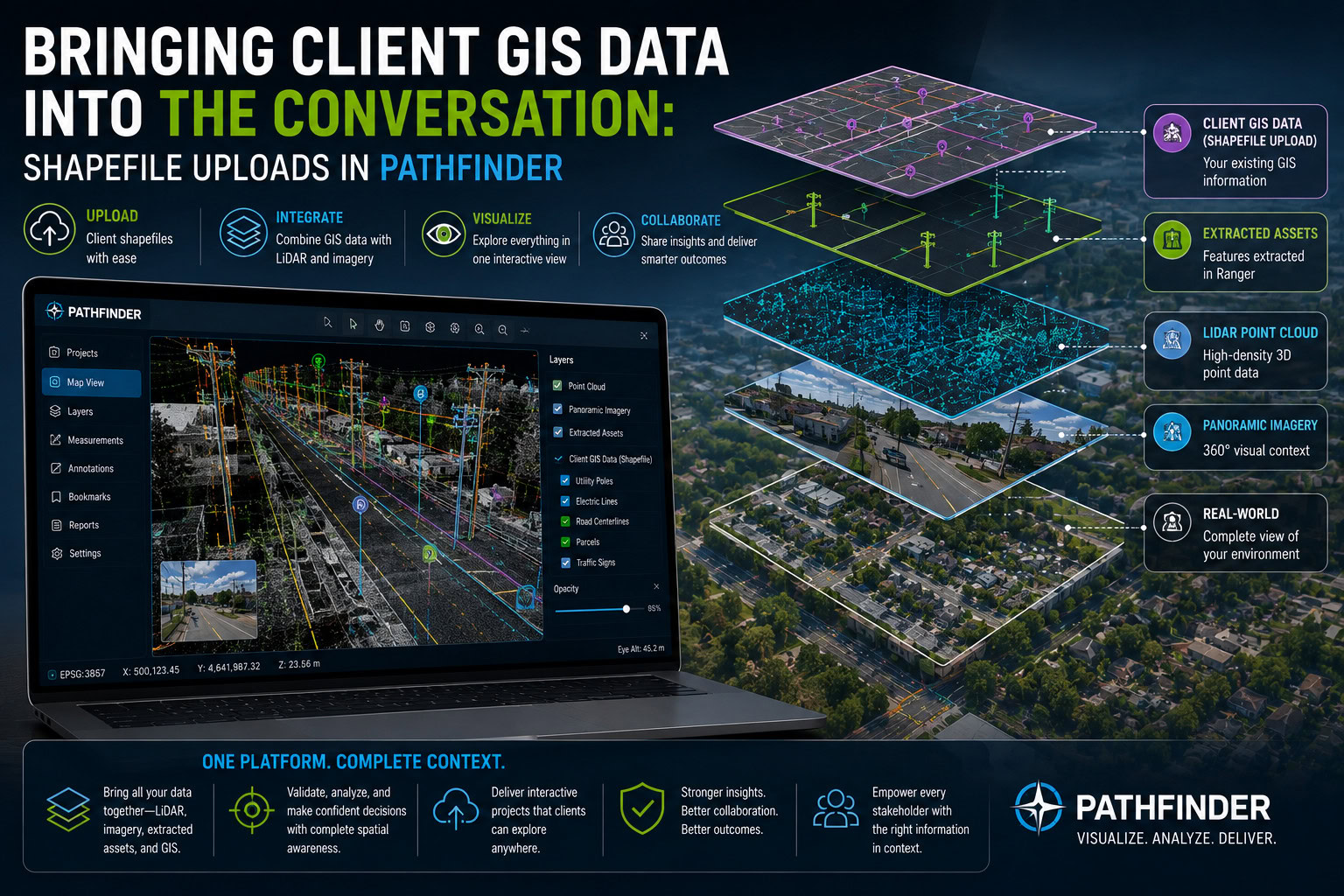
Most GIS platforms ask clients to work within whatever data the platform gives them. Pathfinder takes a different approach. Clients can upload their own shapefiles directly into the platform and analyze them alongside the point clouds, imagery, and extracted assets we deliver. That single capability opens up a range of ways clients can get more value out of their data.
Why bring your own data into Pathfinder
The most common use case is comparison. A client who has an older extracted dataset for a corridor can upload it into Pathfinder and view it side by side with a newly collected dataset, making it easy to see what has changed on the ground and confirm that the new extraction reflects reality.
Boundary data is another strong example. Clients can upload county lines, property lines, or other reference boundaries to understand exactly where their newly extracted assets fall in relation to jurisdictional or ownership lines. That context matters for planning, permitting, and asset management decisions that depend on precise location relative to a boundary.
Pathfinder is also useful for quality control. If a client has data that was extracted by another vendor or another process entirely, they can bring that dataset into Pathfinder and check it against the underlying point cloud and imagery. Rather than taking someone else’s extraction at face value, they can verify it directly against the source data and catch inaccuracies before they become a problem downstream.
Why 3D changes the analysis
A 2D application like ArcGIS shows where an asset is, but it can’t show why an extraction decision was made. Pathfinder displays the full point cloud and panoramic imagery in a 3D environment, so clients can see exactly what our team saw when an asset was extracted. If a sign was placed a certain way, or a pole was classified a certain type, the client can look at the same imagery and point cloud data to understand the reasoning behind it. That level of context is simply not available in a flat, 2D view, and it builds a lot more confidence in the extracted data.
Working with uploaded shapefiles inside Pathfinder
Once a shapefile is uploaded, it isn’t just a static overlay. Clients can click on any individual asset in the shapefile to bring up its full attribute list, right there in the 3D scene. For a broader view, the same information is available in table view, where the entire attribute table can be reviewed and sorted without leaving the platform.
Pathfinder also includes measurement tools that let clients take their own measurements directly against the point cloud and imagery. This means clients aren’t limited to whatever was captured during extraction. If they need a measurement that wasn’t part of the original scope, they can generate it themselves and get additional insight from the same dataset.
The bigger picture
Uploading shapefiles into Pathfinder turns the platform from a one-way delivery tool into a genuine analysis environment. Clients can compare datasets over time, add their own reference data, verify the accuracy of work done elsewhere, and dig into the reasoning behind extraction decisions using the same 3D point cloud and imagery our team relies on. It’s a capability built for clients who want to do more with their geospatial data than simply view it.